
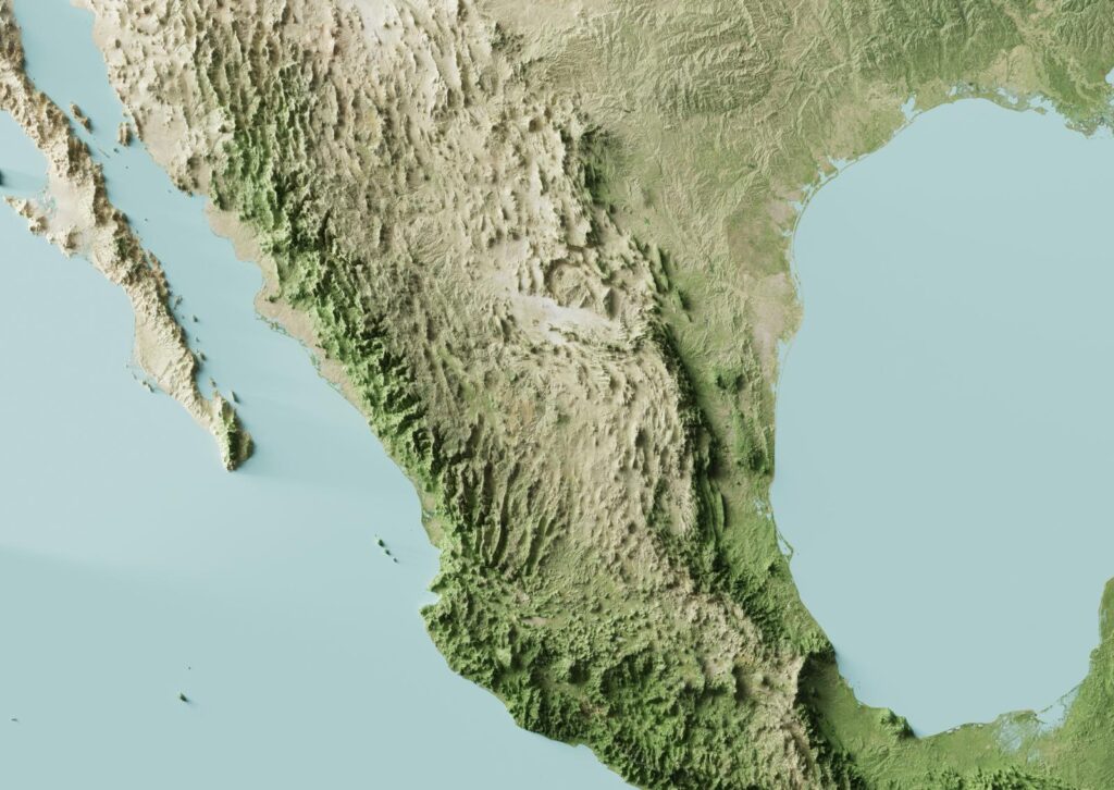
Every time the ground breaks off the coast of Guerrero or Oaxaca, Mexico City gets a warning that lasts between 30 and 90 seconds. In that window, millions of people leave buildings, the trains stop and students file out of schools. It all rests on a network of sensors installed along the Pacific coast, one able to warn faster than the wave that knocks down walls.
How can a city learn about an earthquake before it feels it?
The race the city wins
By: Gabriel E. Levy B.
An earthquake begins when two plates break beneath the sea. Two kinds of waves travel out from that point. The primary waves move fast and shake little. The secondary waves arrive later and are the ones that bring down walls. Several seconds pass between them, and that gap opens the first warning window. The sensors catch the fast wave first and gain an extra head start.
The second window is the decisive one. A radio signal travels near the speed of light, while the fastest seismic wave moves at about six kilometers per second. When a sensor on the coast detects the quake, the alert reaches the capital well before the shaking. Distance works in the city’s favor. The zone where the great earthquakes are born, off Guerrero and Oaxaca, sits more than three hundred kilometers from the Valley of Mexico, so the warning can run from twenty to more than a hundred seconds. The farther the epicenter, the longer the margin.
An answer to the blow of 1985
The debt goes back to September 19, 1985. That day a magnitude 8.1 earthquake brought down much of the city center and left more than ten thousand dead. The tragedy pushed a group of engineers to found the Center for Instrumentation and Seismic Recording, known as CIRES, with a goal that seemed impossible: to warn of an earthquake while it happens.
In 1991 the Seismic Alert System started up with twelve stations along the coast. It was the first of its kind open to the public anywhere in the world. Four years later, on September 14, 1995, it issued the first warning to a city on record. Mexico City’s subway was the first to connect. Over time the system grew toward Oaxaca and other states, and took the name it carries today, SASMEX.
Sensors on the coast, decisions in seconds
The heart of the system is ninety-seven sensors spread along the Pacific shore, from Jalisco to Oaxaca, right above the zone where one plate sinks beneath another. Each device measures the ground’s acceleration and recognizes a quake within a radius close to ninety kilometers.
This is where the fine work comes in. In the first seconds, three algorithms calculate the magnitude from the energy the sensor records. One resolves in three seconds and serves the towns nearest the epicenter. Another waits to read more signal to sharpen the estimate for large quakes. The thresholds change with distance, since a nearby tremor needs a magnitude above five and a distant one has to pass six. The alert fires only when at least two stations confirm that the quake tops the danger levels. That double lock aims to curb false alarms without losing speed. CIRES says it uses artificial intelligence to recognize the quake and estimate its size almost at once.
From the sensor to the loudspeaker, the connected city
There is little point in detecting the quake if the warning does not reach people. The signal travels by radio to the control centers and from there spreads through every available channel. Radio and television stations have broadcast it since 1993. In the streets of the capital it has sounded since 2015 through nearly fourteen thousand loudspeakers. In 2025 Cell Broadcast joined in, a technology that pushes the message to more than eighty million cell phones at the same time, with no need for internet or an app.
All that machinery runs through the C5, the city’s technological bunker that operates more than eighty thousand cameras and gathers the emergency calls. That center receives the alert, distributes it and then sends out helicopters and reviews cameras to gauge the damage. The seismic alert became one more piece of the smart city, that model where thousands of connected sensors and automated real time responses work together to protect the population.
When the margin runs out
The system runs into a limit that no technology solves. If the epicenter is close, there is no time. On September 19, 2017, a quake born between Puebla and Morelos hit the capital as the alert was only beginning to sound. The city had around nine seconds and three hundred sixty-nine people died. That day made it clear that the warning protects better against distant quakes.
Twelve days earlier, on September 7, 2017, a magnitude 8.2 quake off the coast of Chiapas and Oaxaca gave the capital more than ninety seconds. The same network that barely reached in time on the 19th worked in exemplary fashion when the epicenter was far. False alarms are the other delicate front, because each error, from a technical or human failure, sows panic and wears down the trust of a population marked by 1985 and 2017. Even so, Mexico remains a world reference. Japan later built a much denser network, though the idea of warning an entire city before the tremor arrives was born on Mexican soil.
The lesson travels well to the rest of the region. On June 24, 2026, a seismic doublet of magnitudes 7.2 and 7.5 shook northern Venezuela, with epicenters in Yaracuy and La Guaira, and was felt strongly in Caracas. Weeks later, on August 10, a magnitude 6.6 quake struck Colombia’s Chocó. Neither Venezuela nor Colombia yet has a seismic early warning system comparable to Mexico’s, and Mexico City’s experience marks a path worth studying.
In summary, Mexico City does not predict earthquakes, it detects them the moment they begin and takes advantage of telecommunications running faster than the earth. A network of sensors on the coast and thousands of loudspeakers connected to the C5, governed by algorithms that decide in seconds, turn that small margin into lives saved. It is one of the clearest examples of what a smart city offers when it puts technology at the service of people.
References
- Center for Instrumentation and Seismic Recording. Mexican Seismic Alert System (SASMEX). cires.org.mx
- Center for Instrumentation and Seismic Recording. How the Seismic Alert works. CIRES Blog.
- Institute for the Safety of Constructions of Mexico City. Accelerographic Network and Seismic Alert System of Mexico City. isc.cdmx.gob.mx
- Influencing Factors on the Usefulness of an Earthquake Early Warning System during the 2017 Mexico City Earthquakes. Sustainability, 2021, volume 13, issue 20, article 11499.
- Milenio. How does the Seismic Alert work in Mexico? milenio.com
- Venezuelan Foundation for Seismological Research. Venezuela double earthquake of June 24, 2026. funvisis.gob.ve
- Colombian Geological Service. Magnitude 6.6 earthquake in San José del Palmar, Chocó, August 10, 2026. sgc.gov.co